AI Magazine Summary
Nessletter - No 113 - 1992
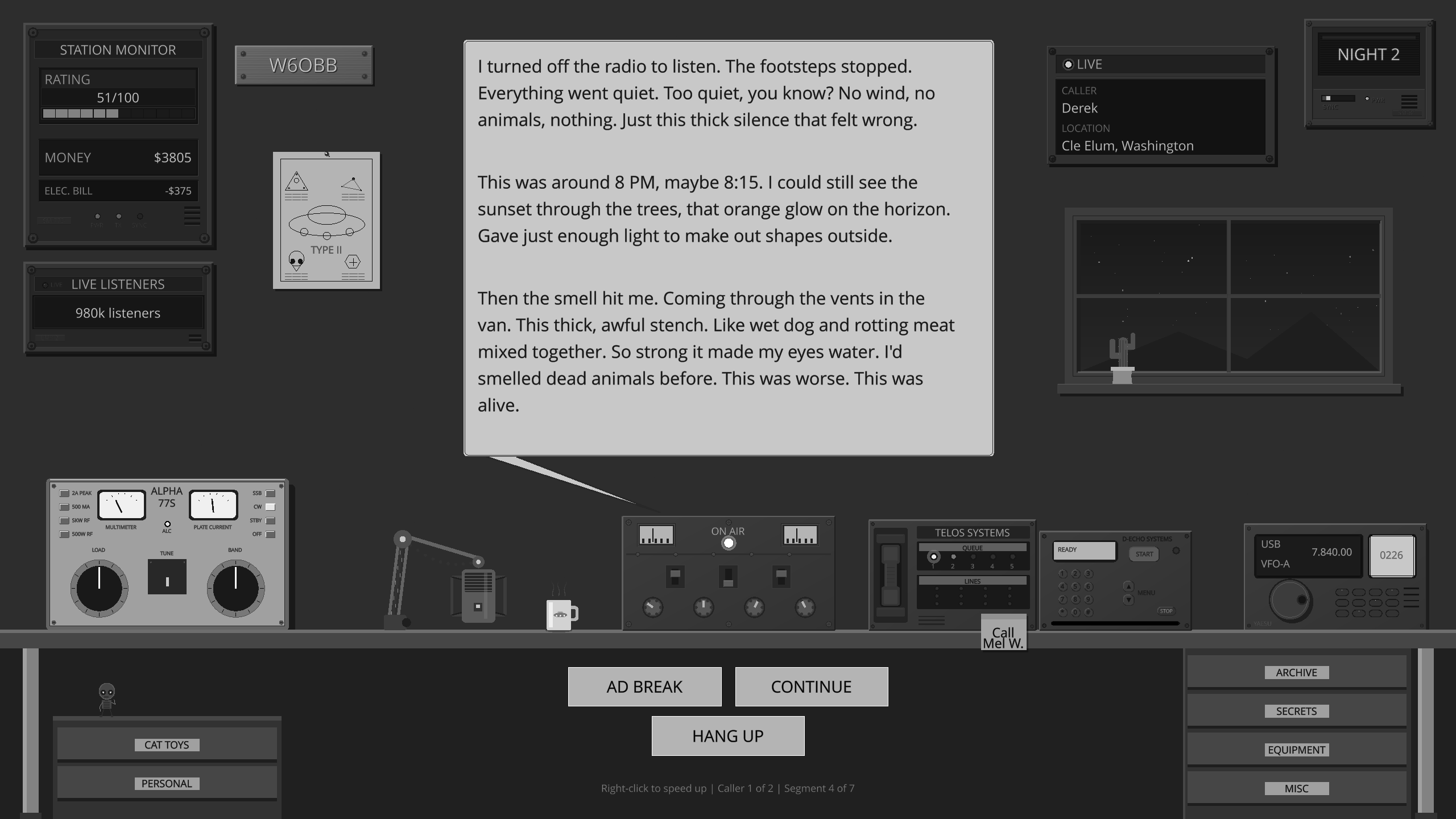
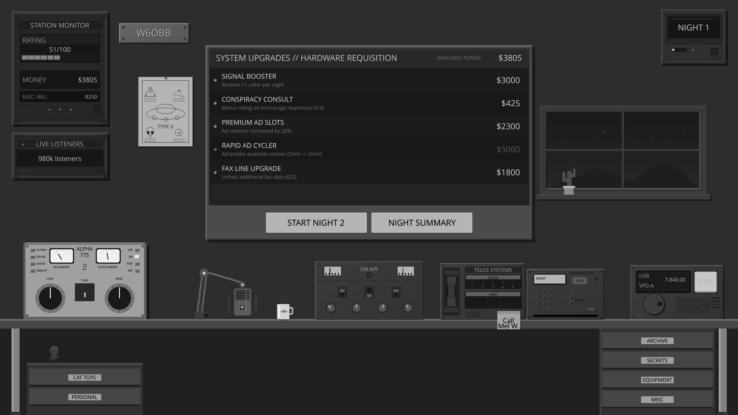
Ever wanted to host your own late-night paranormal radio show?
Across the Airwaves
You’re on the air. Callers bring Mothman, Fresno Nightcrawlers, UFO sightings, reptilian autopsies, and whispers about AATIP and Project Blue Book. Every reply shapes how the night goes.
20,263
issue summaries
Free. Always.
Support the Archive
Building and maintaining this collection is something I genuinely enjoy. If you’ve found it useful and want to say thanks, a small contribution keeps me motivated to keep expanding it. Thank you for your kindness 💚

AI-Generated Summary
Title: NESSLETTER Issue: 113 Date: October 1992 (with a note indicating Jun 93) Publisher: NESS INFORMATION SERVICE ISSN: 0264-7001
Magazine Overview
Title: NESSLETTER
Issue: 113
Date: October 1992 (with a note indicating Jun 93)
Publisher: NESS INFORMATION SERVICE
ISSN: 0264-7001
This issue of NESSLETTER focuses heavily on "Project Urquhart" and its research at Loch Ness, presenting findings from a joint effort with Simrad. The content details technological advancements in surveying, ecological considerations of the loch, and explores historical theories, including the possibility of submerged mines.
Project Urquhart: Loch Ness Presentation
The issue opens with a report on a presentation titled 'The Hidden Depths of Loch Ness,' held by Project Urquhart in conjunction with Simrad at the Royal Geographical Society in London on October 28th, 1992. The event was attended by approximately 130 people, including nearly two dozen journalists from various countries. The primary outcome highlighted from the first phase of research was a three-dimensional map of Loch Ness, which suggested the loch is deeper than previously believed.
Nigel de Hinser, Deputy Director, welcomed attendees, and John Bartholomew, President of the Royal Scottish Geographical Society and grandson of George Bartholomew (who produced the original 1903 chart), presented the information gathered. The project utilized the MV Simrad as a flagship for its three-year program, a collaboration between North Sea Technology and various scientific bodies.
Nicholas Witchell, Chairman of Project Urquhart, thanked the Royal Geographical Society and other supporting organizations, including the Freshwater Biological Association, the Natural History Museum, the Royal Scottish Geographical Society, and the Society of Underwater Technology. He emphasized the shift from a clichéd, one-dimensional view of Loch Ness to a three-dimensional understanding enabled by modern technology, posing the question of whether the loch should remain a 'virtual no-go area' or be utilized for harvesting environmental knowledge.
The Simrad Survey and Mysterious Objects
A 15-minute video showcasing the 1992 operations of 'Project Urquhart-The Simrad Survey' was presented. A key point of discussion was the presence of mysterious objects located in a regular pattern across the loch floor, described as 'stepping stones' approximately 60/70 meters apart. While not positively identified, the favored explanation was that they are sonar targets, possibly placed by the Ministry of Defence in the 1960s for sonar calibration or accuracy testing.
An ROV (Remotely Operated Vehicle) was deployed to investigate one of these objects lying in shallower water. As the ROV approached, it disturbed sediment, revealing a section of netting. This indicated that the object might have been snagged. Further probing revealed more netting, and the object was carefully examined. It was described as having a cylindrical form, with uncertain size, and was difficult to examine closely due to the netting. The object was described as a 'cylindrical form, even size was uncertain.'
Bob Manson, Marketing Director of Simrad, presented the results of the 1993 survey. He stated that the 1903 survey had taken 1700 nautical miles of soundings. The 1992 survey, using Simrad's EM100 equipment, obtained approximately 7 million soundings in their July 1992 survey. Despite covering 1200 nautical miles, they also conducted shorter runs and took 32 coring samples from different areas. The survey found 191 soundings deeper than the previous greatest known depth of 754ft, with one reading of 846ft requiring further investigation. They were more confident about readings giving a maximum depth of 789ft. No evidence of tunnels was found, only steep sides and a flat bottom. The underwater map was constructed using 300,000 sonar readings.
Manson highlighted that the underwater map would allow scientists to paint a fuller picture of the loch's secrets and demonstrated the advantages of state-of-the-art technology in solving practical mapping problems. He thanked Worldwide Ocean Surveying Ltd and the University of New Brunswick for their assistance in producing the 3D map. A computer model allowed for detailed examination of the loch's length, with adjustable width-depth ratios.
Experts from the Ministry of Defence's Hydrographic Office were reportedly considering altering official charts to incorporate the new information. Ian McKee of the Hydrographic Office expressed interest in the data for a new edition of the chart covering the Caledonian Canal. John Bartholomew noted that the current chart is largely based on the 1903 survey by his grandfather and looked forward to seeing more detail from the current bathymetric survey.
Ecological and Scientific Significance of Loch Ness
Professor Colin Curds, Keeper of Zoology at the Natural History Museum and a member of the P.U. Council, spoke about Loch Ness as a scientific site. He described it as a pristine site, poor in nutrients, largely protected from human activities, and with very few non-native species, making it a unique location for study. He explained that the loch's volume and the input from various catchments are important for calculating external energy inputs and understanding how the body of water reacts to solar and atmospheric heat exchange.
Oceanographers' studies in the sea were mentioned as a basis, but Loch Ness could be a simple model of the sea, with factors not yet modeled. Studies of sunlight, algae, zooplankton, and fish populations were planned to determine the effects on the food chain and how waste products sink to the bottom. The sediments are considered key to understanding the loch's history and surroundings, with diatoms being indicators of water quality. There is also the possibility of discovering water quality in bygone eras and understanding what may have happened around the loch before the last glaciation. Attempts will be made to penetrate the sediments to find deposits from that period, a task not previously undertaken in comparable European bodies of water.
Curds also noted the presence of live organisms, such as nematodes, in the sludge. Samples taken in 1992 would take up to two years to study, highlighting the labor-intensive nature of the operation as part of an international program. Information from deep-sea and tropical rainforest locations was being used to study how isolated populations change over time, potentially enabling projections about the effects of human activity and interference on the environment.
He also discussed the fish population, noting healthy numbers of eels, trout, sea-trout, salmon, and charr. Sonar could be used to follow fish, estimate numbers, and gather quantitative data on their sustenance from zooplankton. The charr, isolated for 10,000-15,000 years, present a unique opportunity to study genetic isolation. The techniques could extend to satellite surveillance.
Historical Theories: Mines in Loch Ness
Nick Hitchell provided a summary and closing remarks, stating that Project Urquhart needed support for its continuation in 1993 and that they were discussing documentaries with TV companies. He quoted Professor Gwynfryח Jones, Director of the Freshwater Biological Association, who called the exploration of Loch Ness 'potentially one of the most exciting of such studies to be undertaken in Britain in recent years,' suggesting that new species might be discovered.
Hitchell mentioned a 'big target' tracked for two minutes by the Simrad team, which remained unidentified even after further study. He thanked various individuals and organizations, including Ronnie Bremner, the Official Loch Ness Exhibition, Worldwide Ocean Surveying, and the University of New Brunswick for their logistical support.
The issue then shifts to a potential historical explanation for the 'stepping stones' discovered in 1992. A letter to the editor from Nick stated that the main point of the '92 survey was the maximum depth of 239.5 meters (786 feet) recorded at 57.1349 N 14.3345 W, moving the deepest point to the southern part of the loch.
An appeal from Bob Manson, marketing manager of Simrad, published in the Inverness Courier, sought help in identifying the 'stepping stones.' The Department of Agriculture and Fisheries confirmed they had placed targets in the loch, but an alternative theory emerged from an 85-year-old reader, Mr. David Ross. Ross recalled his elder brother Kenny, who served with the Lovat Scouts during WWI, mentioning that mines had been dumped in the loch after the war because there were too many left. Ross suggested these might be the 'stepping stones.'
Further corroboration came from a reader who claimed that a person credited with taking the first monster photograph was on board a vessel that attempted to retrieve mines from the loch in 1922. These mines, laid by HMS Welbeck in 1918, were likely on the bottom, having a design life of only a few years.
Keith Bryers of Muir of Ord added that the US Navy had a mine assembly base at Clachnaharry from the spring of 1918, supporting massive mine-laying operations in the North Sea. He speculated that mines might have been dumped in deep water after hostilities to dispose of them, with the US Navy anxious to go home. This ties into the method of laying seabed minefields, where mines hung on risers off a ground chain and were rolled off a ramp at the stern of the vessel. Scottish waters were also used for dumping unwanted naval and military ordnance after WWII, including mines off the Crowlin Islands and chemical weapons off the Hebrides in the 1940s and 1950s.
Other Mentions and Publications
The issue includes a section on 'Magazines Etc.' mentioning the Maldives Islands issuing stamps depicting the Loch Ness Monster. It also references a publication called 'Book and Magazine Collector' and an article about collecting Loch Ness books in issue 110 of 'The Loch Ness Monster Legend.'
A new journal, 'AurA-Z,' dealing with UFOs, the Unusual, and Paranormal, is introduced as the first such journal from Russia. Its content covers ufology, dowsing, cryptozoology, and alternative medicine. Contact information for subscriptions and general correspondence is provided.
Future Plans and Contact Information
The newsletter mentions plans to be at Loch Ness from July 11th to 23rd with a yellow Transit Minibus. Members visiting the loch are encouraged to make contact. A phone number (0388 537359) is provided for those who wish to meet fellow members, with a record being kept of attendees.
The address for correspondence is R. R. Happle, Huntshieldford, St. Johns Chapel, Bishop Auckland, Co Durham, DL13 1RQ. UK subscriptions are £2.75, and North American subscriptions are $9.00.
A postscript notes the arrival of 'Discovery' and that P.U. commences Phase two in July, funded by the Discovery Channel. A press briefing is scheduled for June 29th at the Official Loch Ness Expedition in Drumnadrochit.
Recurring Themes and Editorial Stance
The recurring themes in this issue are the scientific exploration of Loch Ness using advanced technology, the historical context of the loch's mysteries (including the monster and potential mine discoveries), and the broader field of unexplained phenomena, such as UFOs. The editorial stance appears to be one of open inquiry, presenting findings and theories without definitive conclusions, encouraging further research and public engagement. There is a clear emphasis on the scientific methodology being applied to understand Loch Ness, moving beyond folklore to data-driven analysis.