AI Magazine Summary
Neon Azimuth - No 01
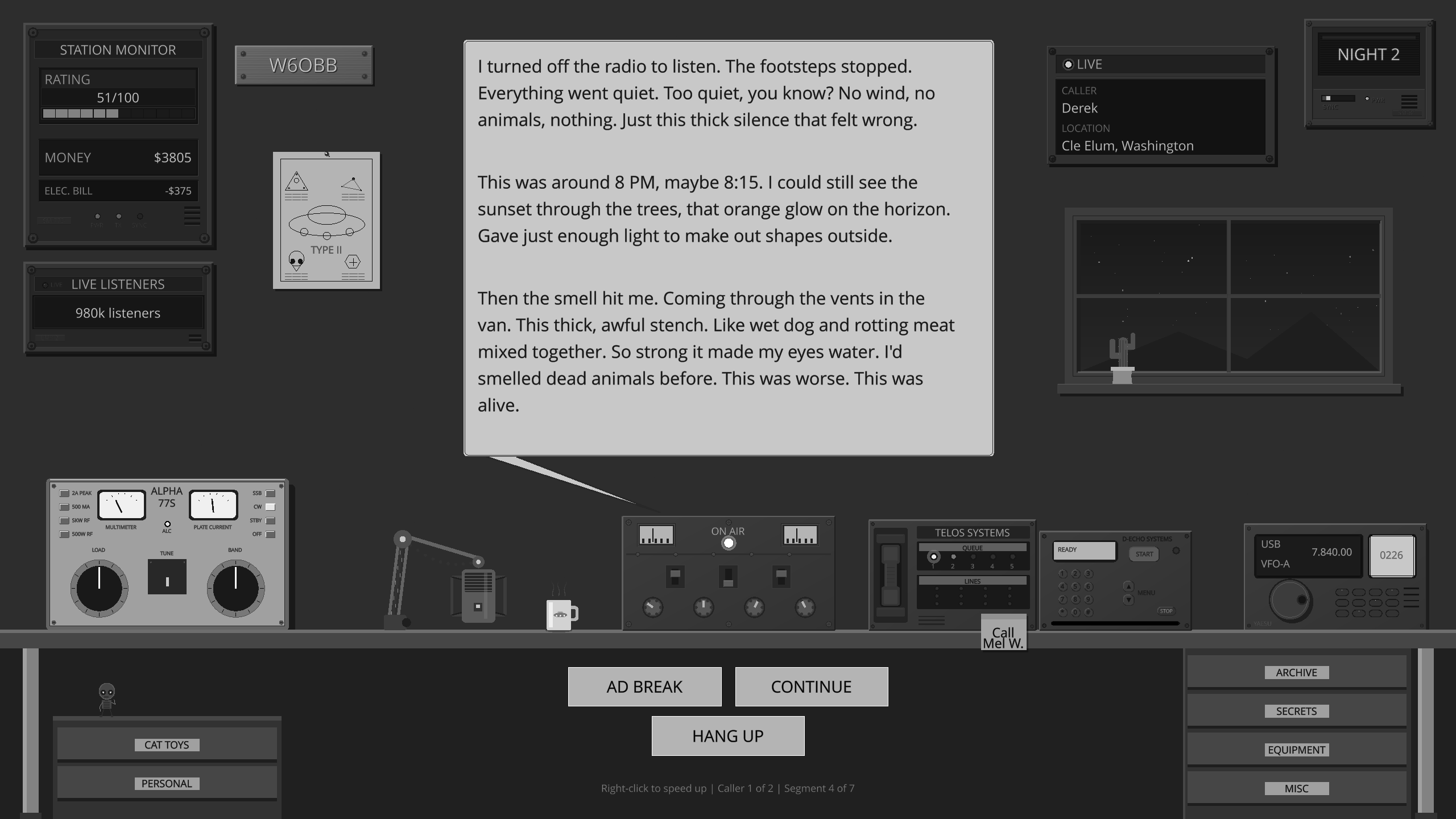
Ever wanted to host your own late-night paranormal radio show?
Across the Airwaves
You’re on the air. Callers bring Mothman, Fresno Nightcrawlers, UFO sightings, reptilian autopsies, and whispers about AATIP and Project Blue Book. Every reply shapes how the night goes.
20,263
issue summaries
Free. Always.
Support the Archive
Building and maintaining this collection is something I genuinely enjoy. If you’ve found it useful and want to say thanks, a small contribution keeps me motivated to keep expanding it. Thank you for your kindness 💚

AI-Generated Summary
Title: NEON AZIMUTH Issue: #1 Date: May 29, 1994
Magazine Overview
Title: NEON AZIMUTH
Issue: #1
Date: May 29, 1994
This issue of NEON AZIMUTH, identified as #1 and dated May 29, 1994, is a compilation of information regarding maps that are useful for locating U.S. military facilities and understanding their layouts. It also touches upon finding vantage points for observation.
Maps for Military Facilities
The primary focus of this publication is on maps, with a strong recommendation for the Defense Mapping Agency (DMA) series. These maps are available for aeronautical, nautical, and land (topographic) use. The DMA aeronautical series is particularly praised for its inclusion of ground features of military installations and detailed topographic information, noting their colorful and high-quality nature.
Sources for DMA Maps
DMA aeronautical and nautical maps are sold by the National Oceanic and Atmospheric Administration (NOAA), specifically through the National Ocean Service, Distribution Branch, N/CG33, Riverdale, MD 20737-1199, USA. Their telephone number is (301) 436-6990.
DMA land maps are sold by the U.S. Geological Survey (USGS). The publication notes that unfortunately, DMA "range charts", such as NRCXX01 for Nellis AFB, are not publicly sold, though the author had not yet attempted to request them under the Freedom of Information Act (FOIA).
Readers are advised to request free catalogs from NOAA: "Defense Mapping Agency Aeronautical Charts and Publications" and "Defense Mapping Agency Nautical Charts and Publications - Region 1 United States and Canada." These catalogs help in identifying the stock number for desired map areas.
Recommended DMA Charts and Pricing
A list of recommended DMA aeronautical charts is provided, with each map costing U.S. $4.50. International orders require a check drawn on an American bank or an international money order in U.S. dollars, payable to NOAA. Postage is free.
Detail maps, which cover 1 degree of latitude by 2 degrees of longitude and measure approximately 56 x 86 cm, are listed by order number followed by a description:
- JOGNI1310: Southern part of New Mexico, including Holloman AFB and White Sands Missile Range.
- JOGNJ118: Shows the secret test facility at Tonopah, Nevada.
- JOGNJ119: Groom Lake, Nevada. This map is described as unusual, showing only a blue circle with a line indicating runway direction, lacking descriptive information about runway length or name.
- JOGNI115: Shows Edwards AFB and Edwards North (where the B-2 was tested) in California.
Wide area maps, covering several hundred miles (approximately 104 x 147 cm), display military operating areas in blue boxes. Military-only areas are marked with "R" (Restricted) numbers, such as R-2515 for Edwards AFB.
- TPCG18R: Covers central California and Southern Nevada, including Edwards AFB and the Nellis Range (location of Groom Lake and Tonopah).
- TPCG19C: Covers New Mexico.
A useful DMA publication available from NOAA for U.S. $5.25 is "Special Use Airspace - North and South America," which lists all areas used by the military for flying, including restricted zones.
U.S. Geological Survey (USGS) Maps
The U.S. Geological Survey (USGS) offers various map types, with the 7.5 and 15-minute topographic maps being the most common. The 7.5-minute series covers a smaller area but is more recent. Many 15-minute series maps are 30-40 years old, though recent DMA topographic maps are also included. DMA topographic maps can be identified by a specific USGS mark (a section mark) and the suffix -TM-050-00. An example given is the DMA map of Cane Spring, Nevada (USGS reference code: 36116-G1-TM-050-00), which shows the control area overlooking Yucca Flat, a site for nuclear weapons testing.
To obtain USGS maps, one should request the free "Catalog of Published Maps" and "Index to Map Coverage" for the desired state from: Map Distribution, U.S. Geological Survey, Box 25286, Federal Center, Denver, CO 80225. The Catalog lists reference numbers and prices, while the Index shows map coverage areas. Free brochures like "Topographic Maps" (explaining symbols) and "Topographic Maps-Tools for Planning" are also available for those unfamiliar with topographic maps. The 7.5-minute map of Groom Lake, Nevada, is identified as 37115-C7-TF-024-00 ("Groom Mine Quadrangle"), noted for showing an empty dry lake bed.
Bureau of Land Management (BLM) Maps
Additional useful maps are from the Bureau of Land Management (BLM), which manages vast areas of western U.S. desert bordering military facilities. The BLM offers "Desert Access Guide" maps for California, detailing land ownership and desert tips. On these maps, BLM land is yellow, California public land is blue, military land is red, and private land is white. These maps have fewer topographic details than DMA or USGS maps.
For BLM maps in California, contact the California Desert Information Center at 831 Barstow Road, Barstow, CA 92311, telephone (619) 256-8617.
Private Map Dealers
USGS and BLM maps can also be purchased from private dealers who cater to hikers. These dealers often carry other maps and guidebooks. An example of such a dealer is Allied Services, 966 North Main Street, Orange, CA, telephone (714) 637-8824. While private dealers may charge slightly more for USGS maps, they allow customers to examine the map before purchase.
Notable Locations Mentioned
The publication lists coordinates for several interesting places:
- Groom Lake: near 115 deg. 49' West, 37 deg. 15' North
- Tonopah: near 116 deg. 46' West, 37 deg. 47' North
- Edwards AFB: near 117 deg. 53' West, 34 deg. 53' North (associated with Rogers dry lake)
- Holloman AFB: near 106 deg. 6' W, 42 deg. 52' North
- White Sands Space Harbor: near 106 deg. 25' West, 32 deg. 57' North
Contact Information and Subscription
Contact information for Paul McGinnis is provided via email ([email protected], [email protected], [email protected]) and a PGP public key. Subscription requests and comments can be sent via electronic mail to [email protected]. Printed material for posting can be sent by postal mail to Paul McGinnis, P.O. Box 28084, Santa Ana, CA 92799, USA.
Back issues of NEON AZIMUTH are available for anonymous FTP download from ftp.shell.portal.com in the directory /pub/trader/secrecy/neon-azimuth.
Notes and Disclaimers
A note indicates that this publication was originally called NEON AZTEC, but the name was changed at the request of Native Americans to avoid causing offense. The file was found elsewhere on the Internet and uploaded to the Radio Free Michigan site by the archive maintainer, who emphasizes the "Protection of Individual Rights and Liberties."
Recurring Themes and Editorial Stance
The recurring theme is the utility of maps for understanding military installations and potentially sensitive or secret locations. The editorial stance appears to be one of information dissemination, providing practical guidance on acquiring and using various types of maps for research purposes, with a particular interest in areas associated with military activities and possibly UFO sightings (implied by the mention of Groom Lake and Tonopah test facilities).